Day 3 – Douglas to the Land
67 miles, 5:27, 12.2 avg.
What an extraordinary day in so many ways! This is why bike
touring is great—every day is different in its challenges and triumphs. I’m
safely in Cave Creek Canyon
now, but what a journey to get here.


-----------------------------------------
Well, I didn’t meet the Gadsden Ghost last night. At least I
couldn’t hear him with my ear plugs in. I high-tailed it out of Douglas after I learned afternoon showers would return
along with some pretty high winds. It’s a really pretty ride out HWY 80 east,
through some hills and valleys, enough variation to keep me very interested. I
planned to try and take it easy today
and make a lot of stops since the mileage was a bit lower. So I took advantage
of the lone tree along the highway and rested in the shade for a while. This
was a huge old canyon hackberry, seemingly the only one around for miles. Not
sure where it came from.


 |
| the lone hackberry |
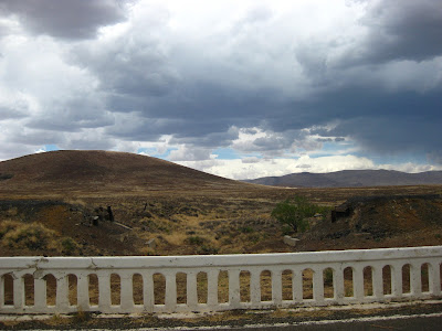
I could already see the clouds building over the Chiricahuas
and off to the east. Soon enough, as I rode into a big valley of grassland, the
clouds closed in on me. It was eerily dark now, no rain, but lots of lightning
over the mountains. In keeping with today’s theme of more breaks, I decided it
seemed safe enough to have a quick lunch. Boy was I wrong! Not 5 minutes later
a huge gust of wind came up, knocked my bike over, and the lightning increased
and got a lot closer. Time to go! Then, BANG! Lightning right over my head. You
know the type, I could feel it in my bones. It was crazy now, lightning
everywhere.


Keep in mind, I’m in the middle of a huge valley with
nothing to hide under. I’m probably the tallest thing around for miles, so my
blood is pumping, and I’m sprinting down the road in seconds flat. Then the
rain starts. Luckily I’m getting a tailwind as the energy pushes out of these
clouds, so I’m sailing along when I see the Border Patrol agent coming back in
his truck to ask me if I need any help. How nice. I thought for a moment about
waiting out the storm, chit-chatting with this very young guy (who was from New York by the sound of
it), and learning what’s it’s like to come out west and do what he’s doing.
Would’ve been a great experience if I was writing a book or something! It only
took a moment to decide no. The wind was going my way, the lightning was
already behind me and it looked good ahead. I only take rides if it’s serious.
So I thanked him and sprinted the 15 miles into Rodeo (the nearest place for
shelter and food) as the clouds continued to close in on me.


Right as I roll up to the store/café a couple of young folks
flag me down and tell me there’s a great place to camp only four blocks away!
Huh? I wonder in my sweat-crusted stupor. I laugh and say in a tone that must
sound like I was just told a joke, “I’m not camping down here in Rodeo next to
the highway. I’m going up into the mountains!” They probably took me as some
weird and rude loner guy, but hey, I just rode through a pretty serious and
very tiring ordeal. I’m just 10 miles from the goal of my entire journey! From
my point of view their information was ridiculous. Didn’t they know I was
practically a local in these parts?
Well, maybe that’s a bit of a stretch. I sort of realize I
sounded like a jerk, so I continue the conversation. They were from BC Canada and
looked and sounded like they were on bicycles too. But I was a bit confused and
too tired to find out, and then they went inside to eat lunch. By the time I
was ready to eat they were gone and the busy lunch rush was over, but the nice
people there still made me a sandwich. Turns out the couple was on bikes; what
are the odds? Why they didn’t come out and say so first thing is beyond me. We
could have had a great talk and I might have even stayed in Rodeo with them.
OK, probably not!
 |
| Adding insult to injury |
Anyway, I stay in the café a while warming up and waiting
for the rain and lightning over the Chiricahuas to subside—it’s really going
gangbusters now. I’m getting antsy and it feels like it’s time to go now, so I
head up the highway and make the turn onto Portal Rd. and boom, the headwind hits me
right in the face. These are the damaging winds I was warned about on KOLD this
morning. I know it’s only about 10 more miles, so I plug along, sometimes
slowing to a crawl. About ¾ of the way up the climb, the winds stop and the
rain over the mountains clears and I can feel that Chiricahua magic taking
over.


Before I know it I’m at the Portal store, Yellowman is
playing over the speakers and I’m telling everyone in the store about my
adventure. A forest ranger sees me outside with the two beers I just purchased
and we have a good chat about my ride and the weather. He tells me a lightning
strike started a fire in one of the canyons.
Not much further to go now, and I’m taking videos of
everything while I’m riding, like I’ve never been here before. I guess I
haven’t ever arrived in this fashion before, and it’s never taken three days
that’s for sure!
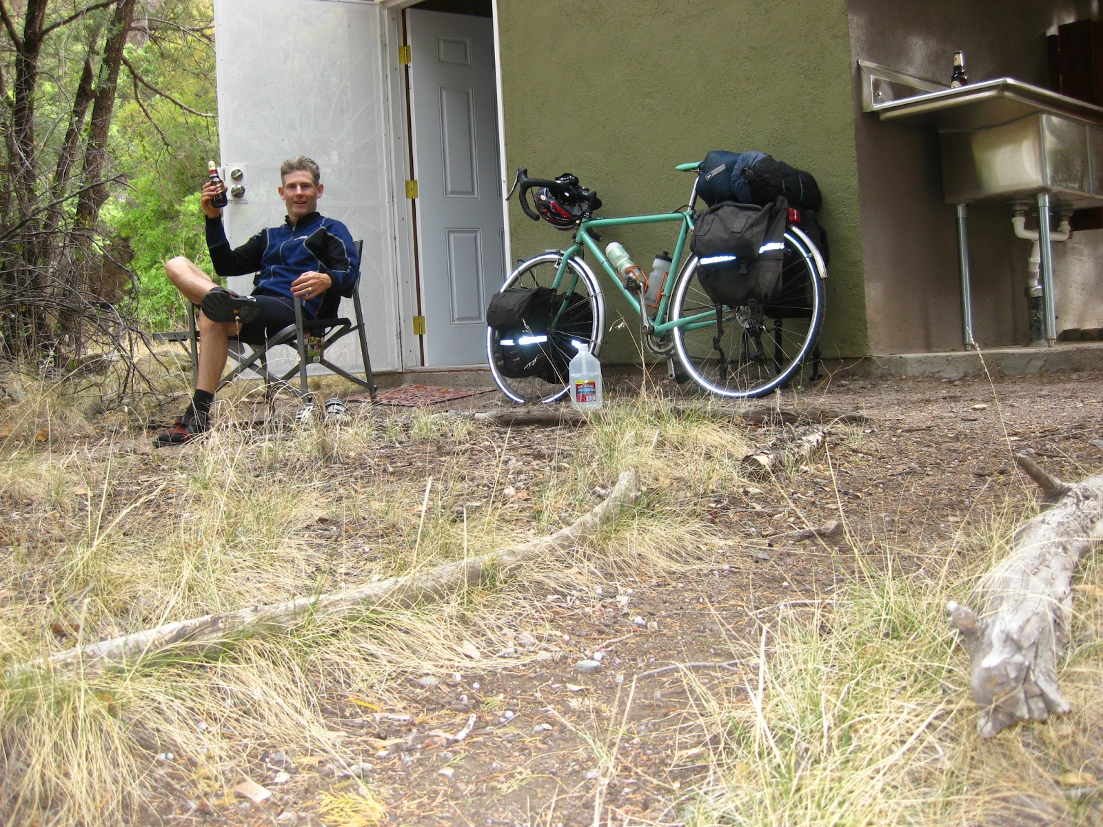
It really takes an incredible journey to make you appreciate
an amazing place even more. It truly felt like coming home here to the little
pump house, table and huge pile of firewood. Even better, new camp chairs and a
mini-fridge! Luxurious surprises. One thing though, the well pump doesn’t seem
to be working—no hot shower. Oh well, I can bathe in the creek.