
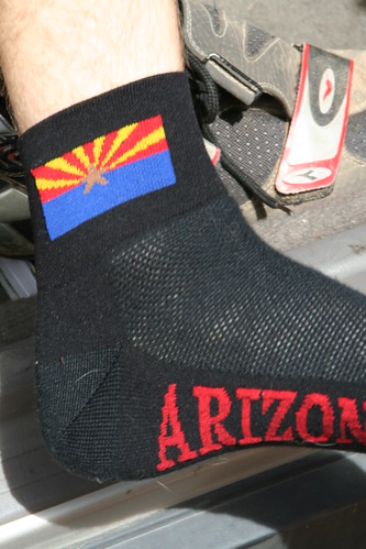
July 1 was 55 miles from the drop off point up to Jacob Lake. Representing with his Arizona socks, Matt reported that the first 14 miles down into Marble Canyon at the Colorado River were a blast.
Next, he rode by the Vermilion Cliffs where there was no shade to rest in. Running out of water, he finally found a sign casting some shade where he could pause for a bit. Luckily, some friendly RV'ers stopped nearby and replenished his water supply.
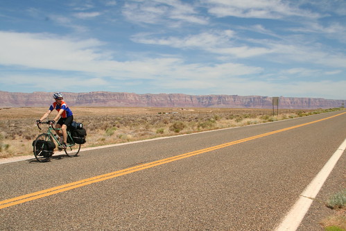
Vermilion Cliffs in background. Please click for larger, uncropped versions of any photos in this blog.
After that he continued over the brutal rollers leading to the plateau. The final climb was 14 miles and took about 2-1/2 hours! At the "Jacob Lake .5 miles" sign, Matt had to take another rest. Not having eaten enough, and suffering with a pinky toe that "felt like it had been hit with a hammer" had caught up to him.
He finally made it to Jacob Lake and rolled up to a cafe. When he inquired if there was any place else to eat nearby, Matt was told that there was another restaurant only 30 miles away back down off the plateau! Hungry and tired, Matt set up camp at a nearby RV park and made his own meal. Why carry all that food if you're not going to eat it?
Tomorrow -- Utah!
Update! Matt's journal and photos
Day 1 – July 1 Bitter Springs to
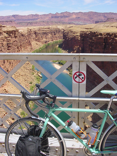
Navajo Bridge (Please click any photo to see a larger version)
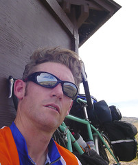 Hiding behind the infamous shade sign
Marble Canyon- Click for uncropped version
Satellite map of July 1 route


No comments:
Post a Comment